Advanced Visual Documentation
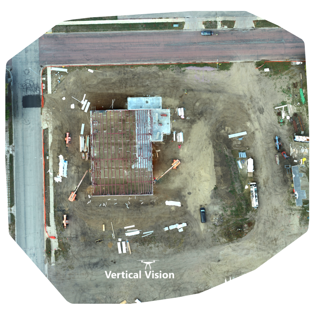
Orthomosaic 2D Photos
Pick on image to zoom in.
An orthomosaic photo or 2D map is a detailed, accurate and geometrically correct image created by stitching together a series of individual aerial photographs. The resulting orthomosaic image provides a seamless, high-resolution representation of the area.
Key characteristics of orthomosaic photos:
- Geometric Accuracy
- High Resolution
- Broad Area Data Acquisition .
- Perfect for the Architecture, Engineering and Construction (AEC) Industry
Overall, orthomosaic photos produce accurate and visually rich representations that are well-suited for precise measurements and analysis.
