Misconceptions
Misconception #1: “I have a drone, I’m set.”
Think of the drone as a tool just like a circular saw is. It’s not what you have for tools, it’s what you can do with those tools that really matters. All kinds of tools are needed to complete the job but visual documentation created by drones and 360o cameras are what pulls it all together.
Drones are:
You could say drone mapping is still in its infancy, but the impact it’s made for early adopters is undeniable. As this technology progresses, it will only become more of a necessity for 21st-century job site management.
If you have your own drone, the burden is placed on you to keep up with the technology. Professional drone operators keep up with new technology since this is their core business.
Traditional methods like land (foot) surveys can take much longer to gather and process data. By replacing this “wasted time” with a drone to do surveys, the time saved can get you results sooner hence faster to making informed decisions.
Photogrammetry data can provide a sub-centimeter margin of accuracy which is hard to beat.
There are two distinct categories of drones, consumer and commercial. The consumer drones are for recreational fliers. Commercial drones are used by professionals to achieve far better quality with accurate results. They excel in their control and navigation abilities and have far advanced functionality.
A drone is a tool that provides great value in construction. It has the ability to increase profitability, efficiency and safety which makes the case for them being a multifaceted tool for your organization.
Misconception #2: Visual documentation will add another layer of cost.
Using visual documentation for construction projects does not necessarily add a layer of cost. Only if you’re committed to using visual data can you reap the benefits.
Benefits of visual documentation:
The retrieval of high-resolution images and visual data is made easy in the Vertical Vision organizes and presents the visual documents to the user.
Reduces the need for laborious manual inspections. Site visits by remote stakeholders such as the Safety Officer, the Architects, the Logistics Officer, the project manager in addition to other office personnel and the lender are minimized.
The comprehensive nature of the visual data aids in making informed and timely decisions. The improvement in project planning offsets the cost of visual documentation.
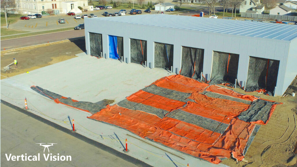
The holistic nature of the data makes every aspect of the jobsite become visible. 360o cameras and drones can get shots from perspectives not possible from eye level.
Misconception #3: Drone photos and videos are cool but that’s all they do.
It’s true that drones and 360o cameras only take photos and videos. However, it’s what can be produced from this digital data that makes a huge impact on construction projects. The visual documentation produced is found to be extremely valuable in so many ways to keep projects on schedule and on budget.
The following “Visual Documentation” section shows what Vertical Vision can do with these photos and videos.
